Remote sensing
notebook.

A personal notebook of AI-assisted, solo research in remote sensing.

These notes document personal research and experiments. Each post and project has its own stage of progress and scope of validation. All experiments and writing are carried out with the help of AI.

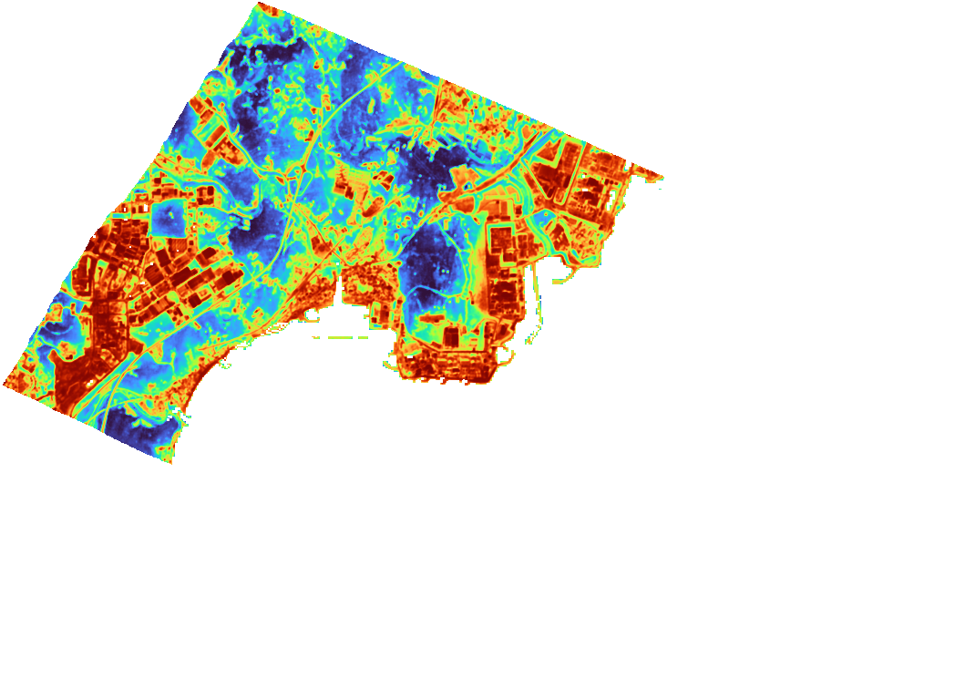
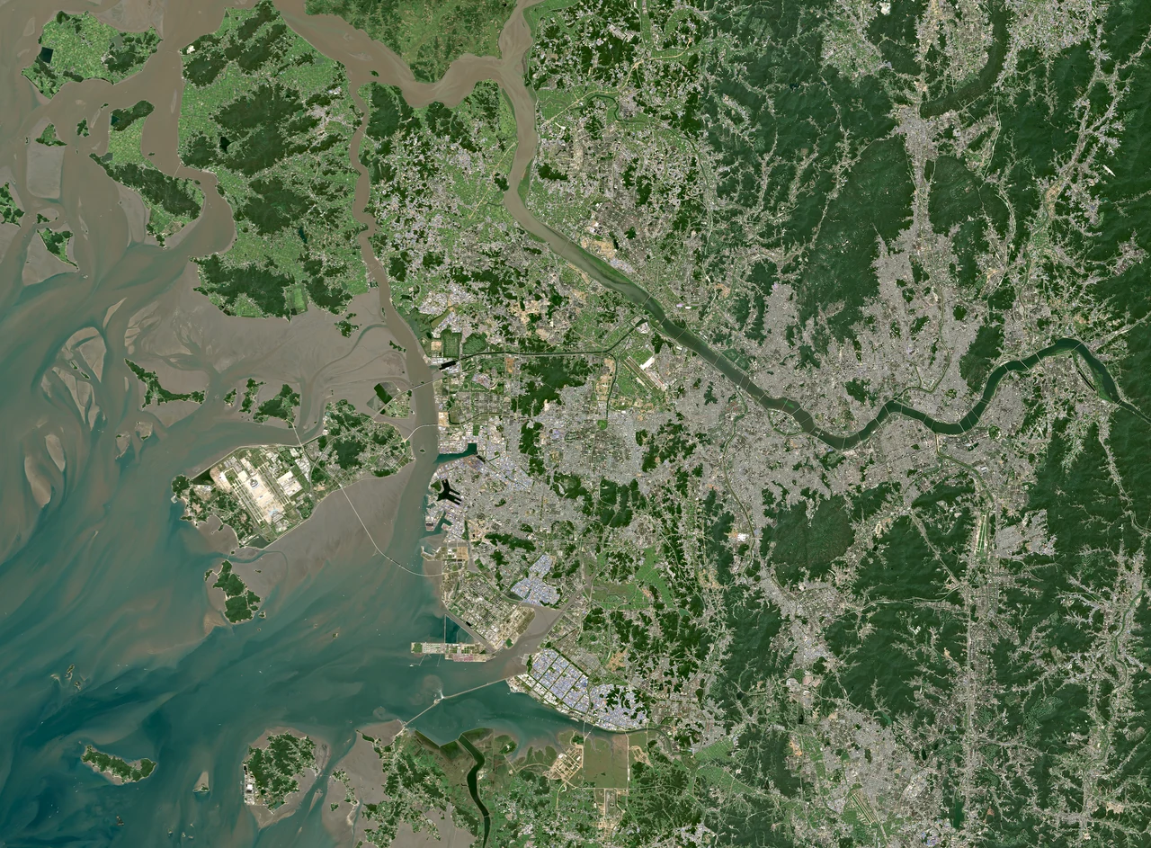
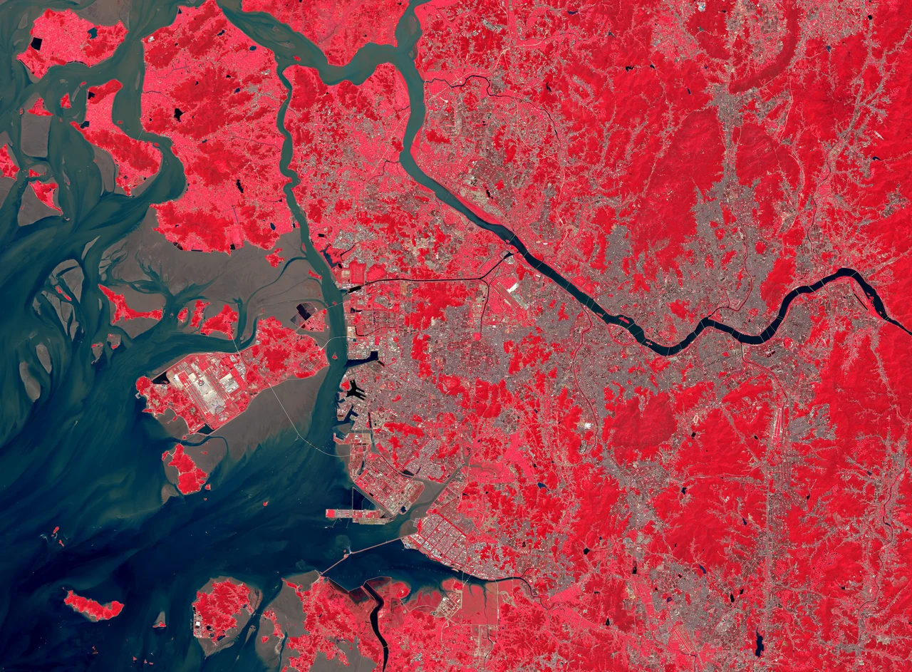
Natural-colour Sentinel-2A view of Incheon coastal waters, Yeongjong, the Han River and Seoul, acquired 10 September 2025

INCHEON — SEOUL

Sentinel-2A

Contains modified Copernicus Sentinel data 2025Natural ↔ NIR · B08 / B04 / B03Two real satellite tiles from 10 September 2025, from the same acquisition. Natural colour (B04/B03/B02) transitions to a measured near-infrared false-colour composite (B08/B04/B03), with vegetation appearing red. This is not a temperature product or land-cover classification. Only the scan and motion are decorative.

Research Notes

Projects

01 / COLLABORATIVE PROJECT

Global Tidalflat
Explorer

Exploring thematic maps of tidal flats worldwide.

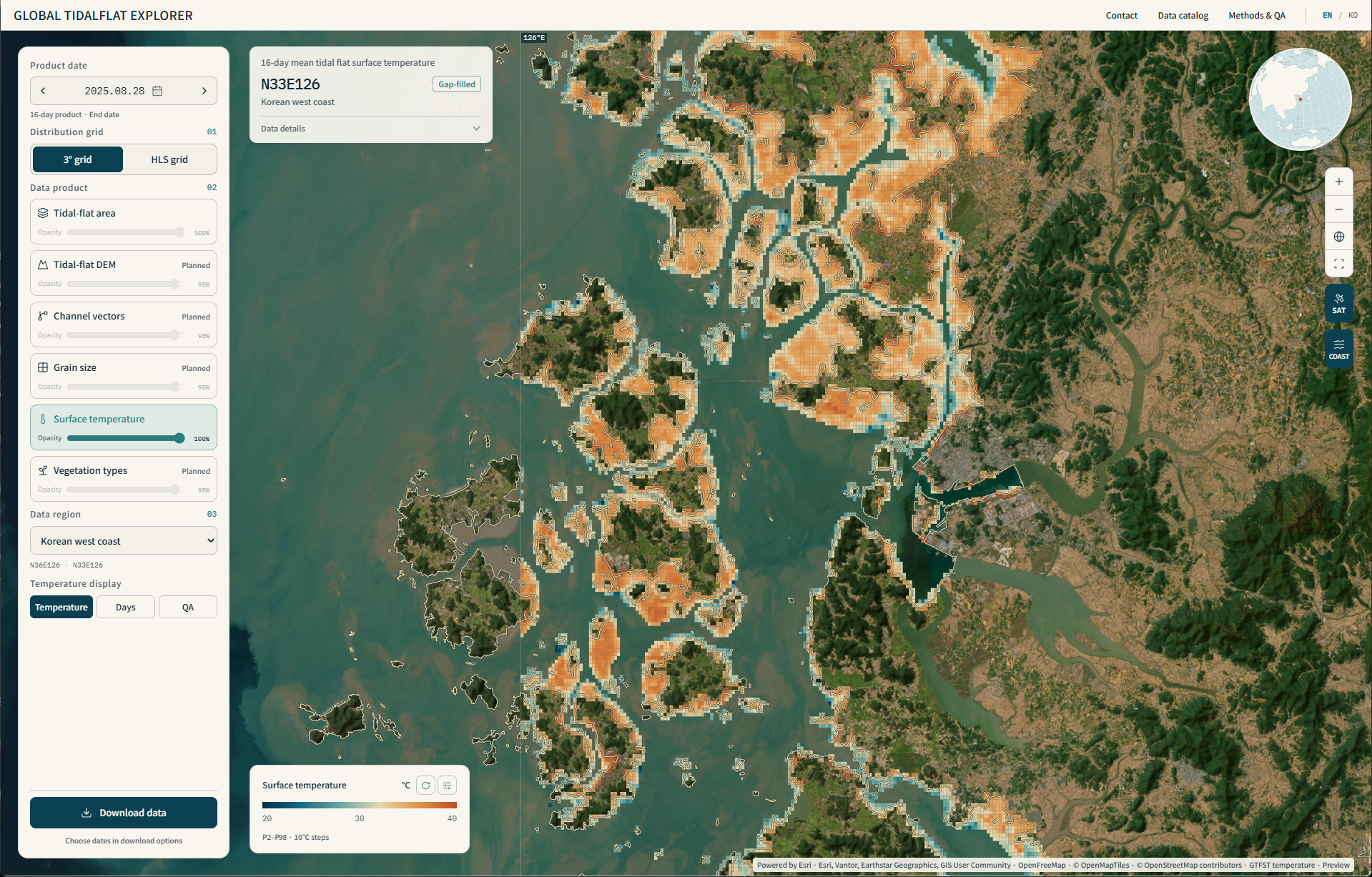
A tool in development with global coverage as the goal. Working with specialists from different fields, we are experimenting with creating and exploring a range of tidal-flat thematic maps.

Open explorer
Global Tidalflat Explorer showing Shinan, Korea: 16-day mean surface temperature with product end date 28 August 2025 and a 20–40°C legend. Includes estimates.
Shinan, Korea · Product end date: 28 August 2025 · 16-day mean surface temperature · Includes estimates

02 / COLLABORATIVE PROJECT

Global
Night Watch

An experiment in monitoring night-time activity with light and thermal observations.

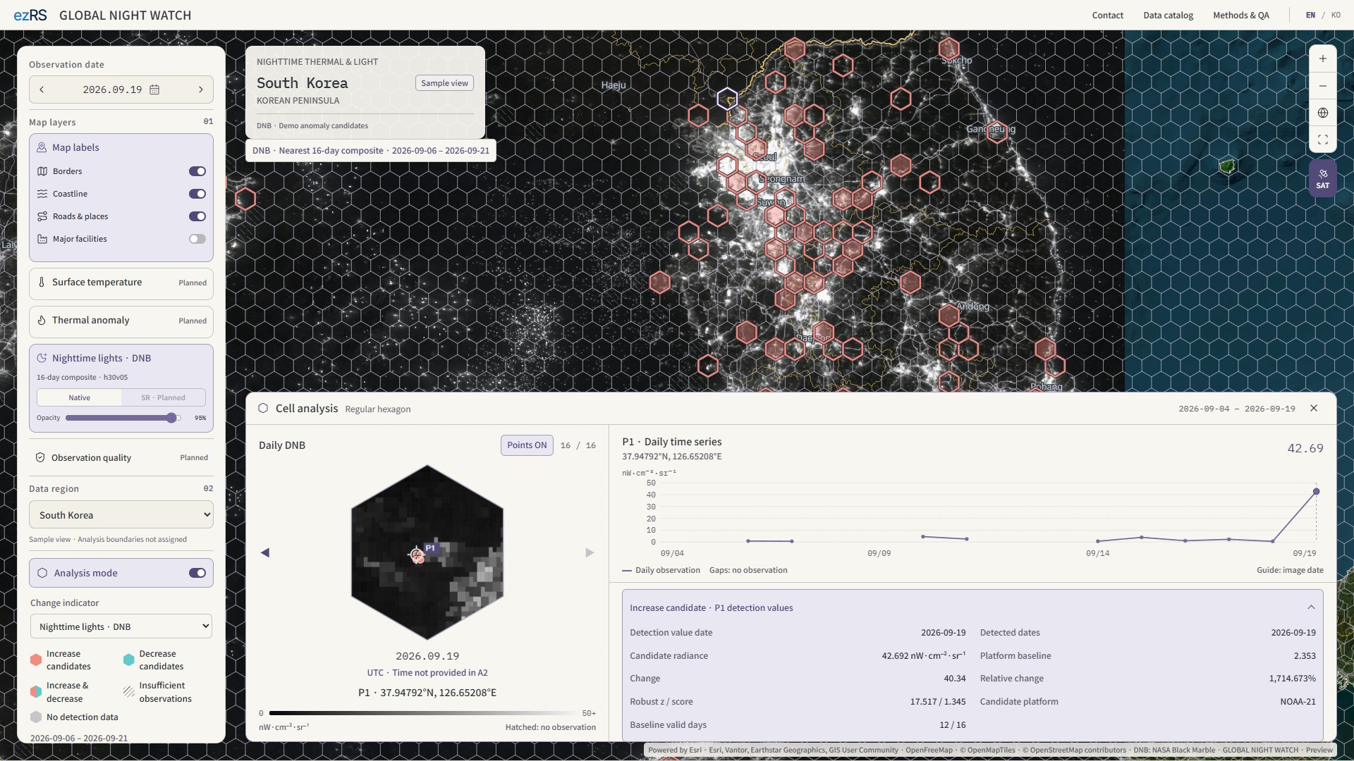
A collaborative experiment in building a night-time activity monitoring tool that brings together night-time lights, temperature, and thermal-anomaly detection. Development focuses on exploring how these observations can be interpreted together.

Open demo
Global Night Watch showing DNB change candidates over central Korea and a selected pixel time series on 19 September 2026. Candidates are not confirmed events.
VIIRS DNB · Change candidates and point time series · Development demo

03 / SUPER-RESOLUTION RESEARCH

Thermal IR & DNB
Super-resolution

Experiments with finer thermal and night-light grids.

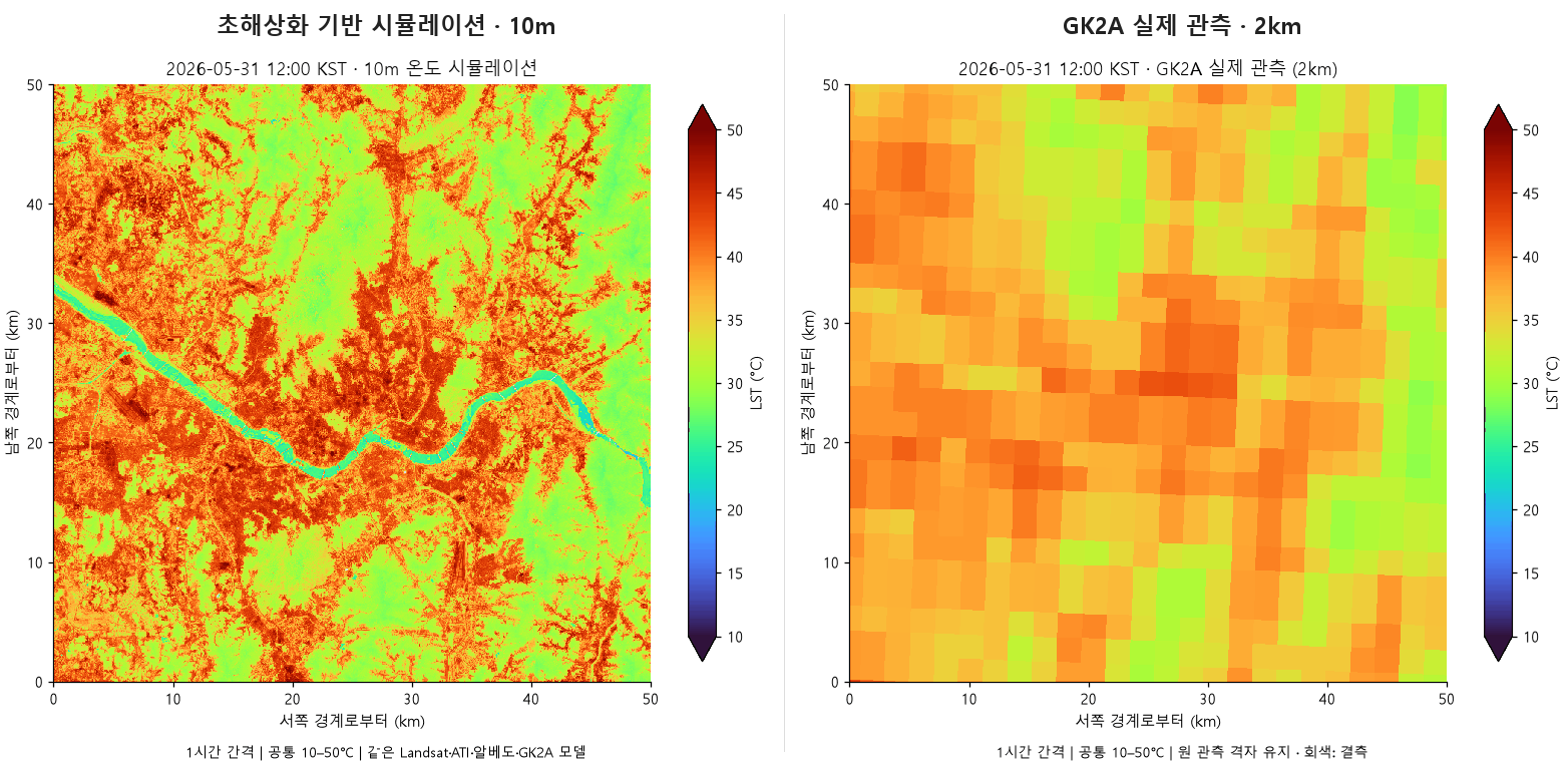
I explore which super-resolution methods suit thermal infrared and night-time light data. By experimenting with and reproducing different approaches, I document their potential uses and limitations.

THERMAL IR

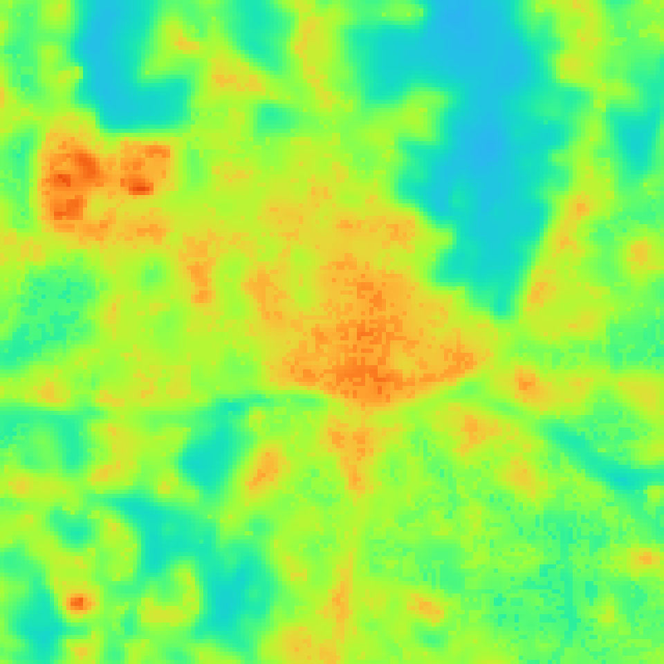
Thermal infrared

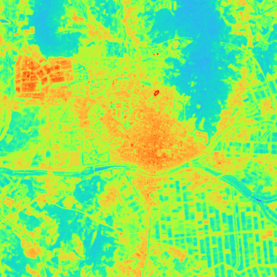
Surface temperature around central Anseong and Anseongcheon — Processed resultSurface temperature around central Anseong and Anseongcheon — Original reference
Anseong · 31 May 2026
Data & interpretation

Landsat temperature on a 30 m grid (native thermal observations at 100 m), compared with optically guided estimates on a 10 m grid. Both use the same 20–55 °C colour scale.

VIIRS DNB

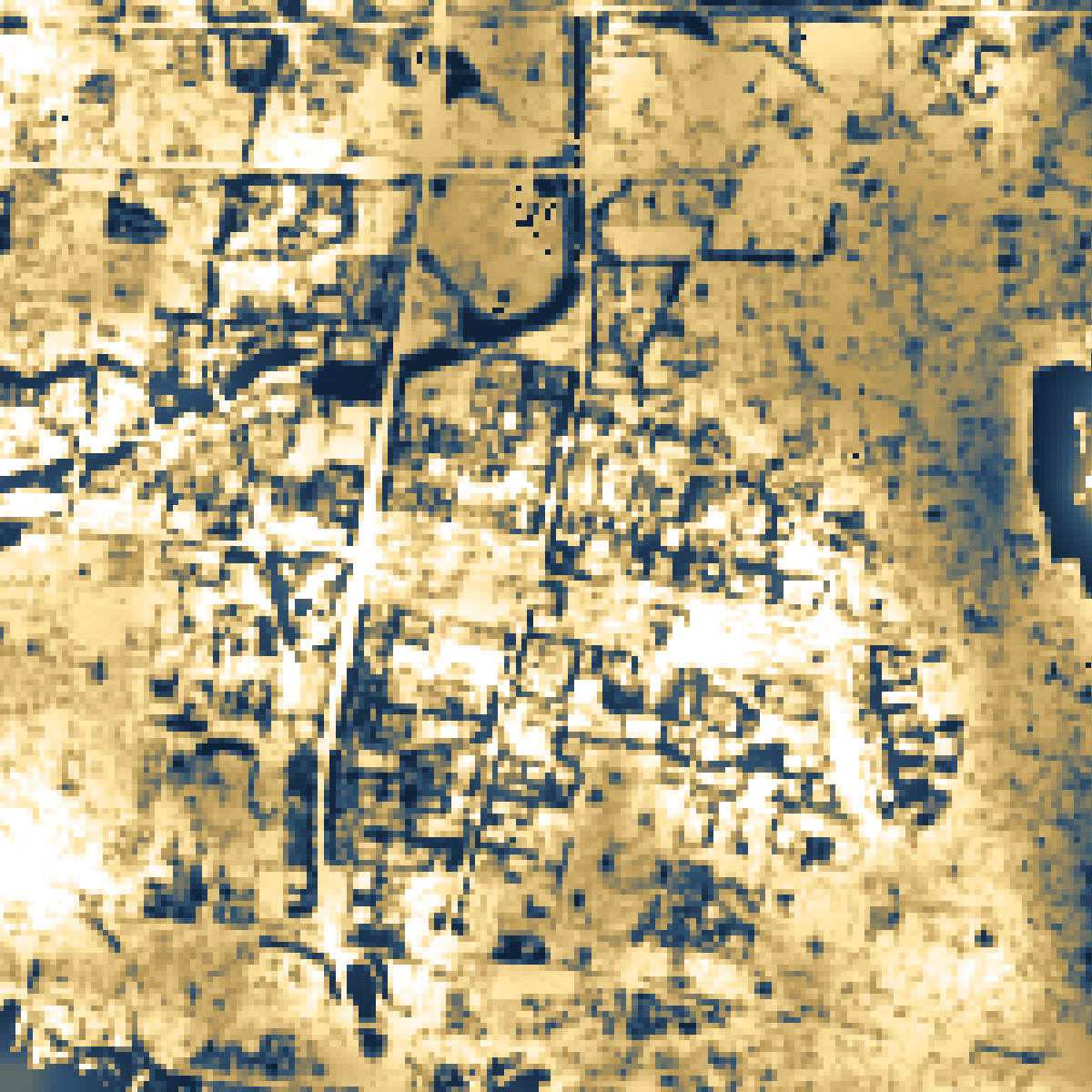
Night-time lights

Night-time light distribution over the 5.6 × 5.6 km Incheon–Bucheon border area; grey means missing data — Processed resultNight-time light distribution over the 5.6 × 5.6 km Incheon–Bucheon border area; grey means missing data — Original reference
Incheon–Bucheon · 30 May 2026 (KST)
Data & interpretation

VIIRS DNB reference on a 500 m grid and Landsat-guided spatial allocation on a 30 m grid. An existing research demonstration pending further processing. Both use the same radiance scale; grey denotes missing data. DNB observes night-time lights, not thermal infrared.

Research-stage estimates. A finer output grid does not represent new high-resolution observations.